“It is not clear where the name “White Mountains” came from. There is no record of what Native Americans called the range, although pre-Colonial names for many individual peaks are known. The name and similar ones such as “White Hills” or “Wine Hills” are found in literature from Colonial times. According to tradition, the mountains were first sighted from shipboard off the coast near the Piscataqua estuary. The highest peaks would often be snow-capped, appearing white. An alternate theory is that the mica-laden granite of the summits looked white to observers.” Wikipedia
“but in the mountains of New Hampshire, God Almighty has hung out a sign to show that there He makes men.”
Daniel Webster
Raw Data
- Total cameras – 30, including mobile phones and 2 drones
- Cameras people said they should have left at home – 2
- Shutter count – 11,317 (movies count as 1)
- Lenses on location – 41
- Lenses people said they should have left at home – 5
- Gear people wish they brought – cloud generator, Nitz Strap, circular polarizer, unicorn t-shirt
- Memory Cards Used – 33
- Miles traveled – 18,054 by air, 1,925 by car
- Unicorn t-shirts worn – 7
- Unique unicorn t-shirts worn – 5
- Instagram posts made – 32
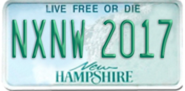
- Hashtags – #nXnw #nXnwWM #nXnw2017 #leafpeeping #NXNW #NewHampshire #NH #fallcolor #fall #fisheye #boston #MA #Massachusetts #sunrise #BigDrone
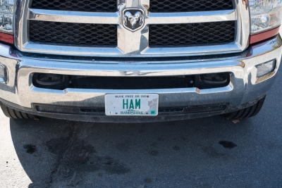
- Number of car trips with no seat belt because that’s legal in “Live Free or Die” New Hampshire – 7
- Disappointing Sunsets on Sunset Hill Road – 1
- Disappointing Sunrises on Sunset Hill Road – 1
- Disappointing Times With Friends on Sunset Hill Road – 0
Participants
Mike “TheaterWiz” Criswell
Robert Lussier
Armando Martinez
Steve Perlmutter
John R. Rogers
Scott Starks
Dave Wilson
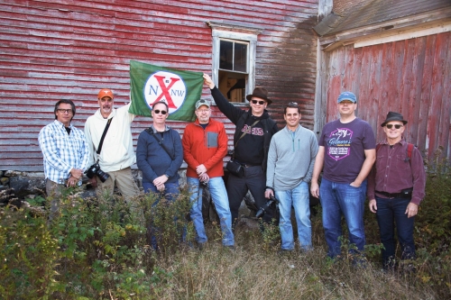
Group photo courtesy John R. Rogers.
White Mountain Base of Operations
Riverbank Motel and Cabins. Great place currently run by a daughter-in-law/mother-in-law team.
Day 1 – Boston
“Massachusetts has been the wheel within New England, and Boston the wheel within Massachusetts. Boston therefore is often called the “hub of the world,” since it has been the source and fountain of the ideas that have reared and made America.”
Rev. F. B. Zinckle, Last Winter in the United States (1868).
“I was expecting some drone footage by now.” Criswell
Dinner Location – City Tap House
Shooting Location – Harbor Walk
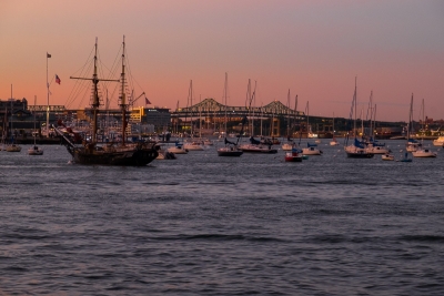
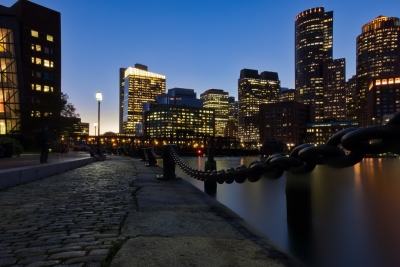
Our initial rally point was Boston since most people flew into Logan. We met for a brief evening shoot on the Harbor Walk in South Boston but mostly for dinner and drinks. Those who were still in transit or arriving the next day texted frenetically to feel like they were already a part of things. The Harbor Walk is a favorite shooting location for one of our local guides Bob Lussier. and we all appreciated his sharing it with us.
Day 2 – Wednesday – Methuen, MA – Lincoln, NH
“Nice little fire near the airport.” Starks
Breakfast – Heav’nly Donuts – Methuen, MA
Dinner – Schilling Beer Co.
Shooting spots: The Basin, Sunset Hill Road
Day 2 saw our first contact with the White Mountains. We gathered from our various hotels at a donut shop a bit north of Boston. Lussier took a detour to pick up Criswell, who was flying into Manchester. After checking in to the base of operations and dropping off bags and gear, we reconvened at our first shooting stop.
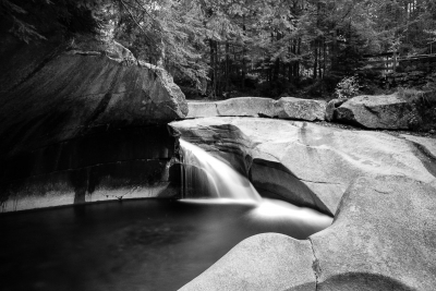
The Basin
“perhaps the most remarkable curiosity of its kind in New England.” Henry David Thoreau
Sometimes affectionately described as a natural pothole, the Basin is 30 feet wide, 15 feet deep, and formed over millennia by a small but steady torrent of water. There are only so many ways to photograph it, unless you climb over some fences you are supposed to respect. But there are multiple other pools and waterfalls nearby to explore.
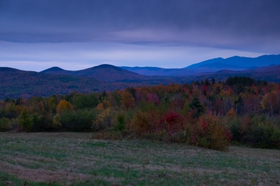
After we were done at the Basin, we drove up to Sunset Sunset Hill Road, in Sugarhill NH, where we had our first chance to shoot the White Mountains as visible mountains. The sunset on Sunset Hill Road did not cooperate, but it was nonetheless a beautiful scene to behold.
“It’s not what you look at that matters, it’s what you see.” Thoreau
After that it was time for diner and beer.
“This porter has ruined all other porters for me.” Wilson
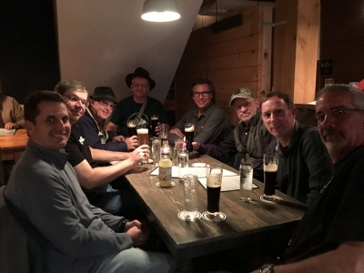
Schilling Beer Co. welcomed us and most of the crew enjoyed the Nitro Kamarade Baltic Porter. There was live music, good food and good company. Photo courtesy our waitress and John’s phone.
Expedition Playlist
If you have access to Apple Music (or maybe just iTunes) you can find the playlist here.
Day 3 – Thursday -Traversing The Kancamagus Highway
“Enjoy your walk back to Lincoln.” – Steve Perlmutter to Armando after viewing one of Armando’s drone photos.
“The highway is named after Kancamagus (pronounced “Kank-ah-MAW-gus”,[5] “The Fearless One”[6]), third and final sagamore of the Penacook Confederacy of Native American tribes. Nephew of Wonalancet and grandson of Passaconaway,[7] Kancamagus ruled what is now southern New Hampshire. Wearied of fighting English settlers, he made the decision in 1691 to move north into upper New Hampshire and what is now Quebec, Canada.” Wikipedia
Breakfast – Sunny Day Diner
Dinner – Woodstock Inn, Station and Brewery
Shooting spots: Graham Wangan Overlook, Lily Pond, Rocky Gorge, Barn, Bath, NH.
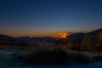
nXnw tends to meet in either late Spring or October. The latter allows for more sleep between sunset and sunrise, but getting up in time to drive to a good spot for dawn is never fun. It helps if the sunrise rewards the effort. On this day it paid off at the Graham Wangan Overlook.
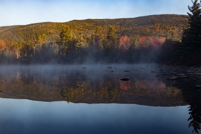
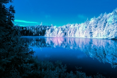
This was a very full day of shooting, as we drove all along the Kancamagus Highway, which is a 32 mile stretch of Route 112 through the White Mountain National Forest. Our next stop was Lily Pond, not far from the Overlook.
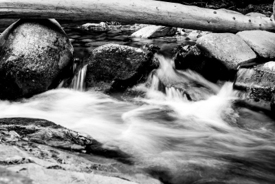
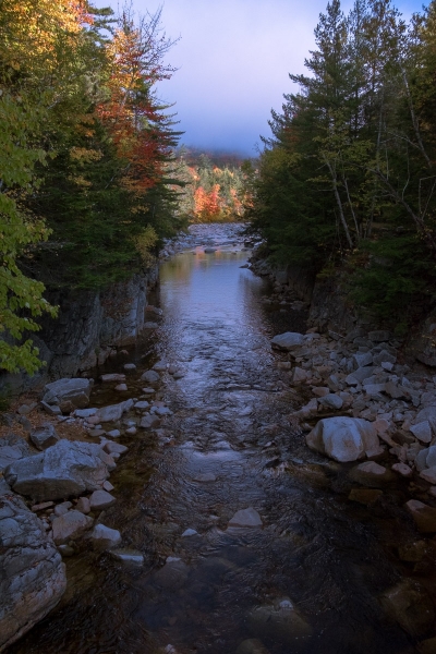
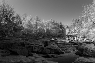
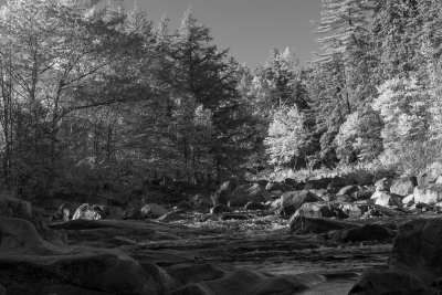
After that we moved on to Rocky Gorge, with more waterfalls on the Swift River, plus some great paths for hiking that lead to even more ponds and small lakes.
Back in Lincoln we discovered some local food preferences.
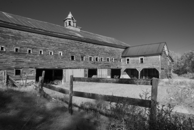
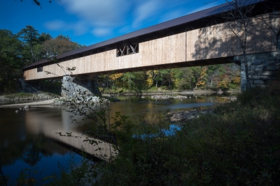
We sort of overwhelmed the Sunny Day Diner but they managed to handle us with grace, although Steve might still be waiting for his breakfast. I’m not sure. In the afternoon we stopped at an abandoned barn we we took the official group photo, with flag, before heading back onto the Kancagamus to Bath, New Hampshire, where we found The Brick Store, America’s oldest general store, and a beautiful covered bridge across the Ammonoosuc River. The Brick Store is great. They smoke meat, sell fudge and maple syrup, and make a fine sandwich. They claim Bath is “The Covered Bridge Capital of New England.” I don’t think there’s is an official sanctioning body for that, and I have not done enough exploring to judge if that is a fair boast. In fact I saw only one of Bath’s covered bridges, but it was certainly a beauty.
Day 4 – Friday – Oct 13
“A DRONE! HE’S GOT A DRONE! IT’S RIGHT THERE! LOOK, A DRONE!” – Random woman.
“How did all the keys to all the rooms end up in one car?” Martinez
Breakfast- Cafe at Mt. Washington Hotel
Dinner – The Common Man
“Once, aeons ago, the Appalachians were of a scale and majesty to rival the Himalayas—piercing, snow-peaked, pushing breathtakingly through the clouds to heights of four miles or more. New Hampshire’s Mount Washington is still an imposing presence, but the stony mass that rises from the New England woods today represents, at most, the stubby bottom one-third of what was ten million years ago. That the Appalachian Mountains present so much more modest an aspect today is because they have had so much time in which to wear away. The Appalachians are immensely old—older than the oceans and continents (at least in their present configurations), far, far older than most other mountain chains, older indeed than almost all other landscape features on earth. When simple plants colonized the land and the first creatures crawled gasping from the sea, the Appalachians were there to greet them.”
― Bill Bryson, A Walk in the Woods: Rediscovering America on the Appalachian Trail
“There is always room at the top.” ― Daniel Webster
Shooting spots: Mt. Washington Hotel, Mt. Washington, various roadside stops, Hancock Overlook
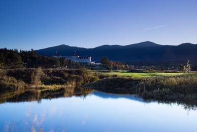
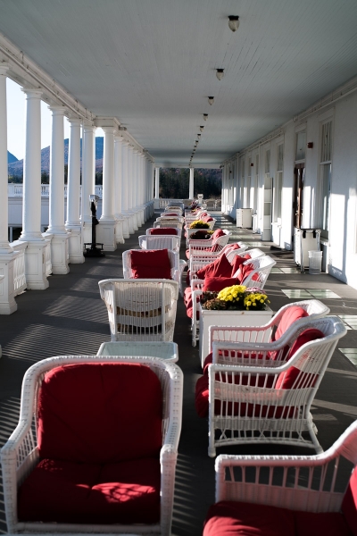
The day began at the Mt. Washington Hotel , one of America’s great old hotels set among parkland. It is famous for hosting the Bretton Woods conference in 1944 where representatives from all the allied nations met to work on agreements for the post-WWII international economic order.
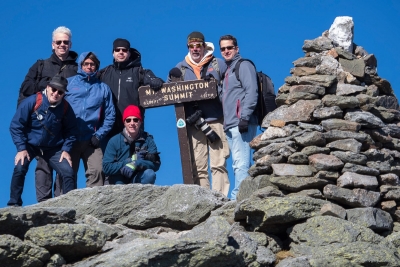
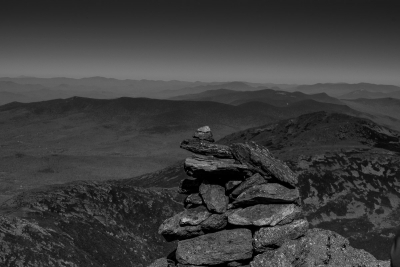
After wandering the grounds a bit, we started the ascent to the top of Mt. Washington, the tallest peak in the Northeast up the Mt. Washington Auto Road. This is a fascinating attraction. The road was finished in 1861 as the Mt. Washington Carriage Road. It was built privately, and is still maintained and owned by the same family. They charge a reasonable toll to drive up, and hand out a CD to listen to on the way up that includes some history, tips for not going over the edge, and for not burning out your brakes on the way down. We stopped a few times, whether just to cool the brakes or to take photos, and you can smell the burning brake pads of cars descending as they pass by.
It is cold and windy at the top.
Group photo courtesy Robert Lussier.
“Who is the woman in the photo with us at the top of Mount Washington” – Rogers
PS: My wife asked the same thing.
PPS: It’s Armando.
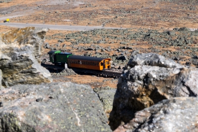
A single track railroad known as the Cog Railroad also ferries people to the peak, and you can hike as well.
“I thank you God for this most amazing day, for the leaping greenly spirits of trees, and for the blue dream of sky and for everything which is natural, which is infinite, which is yes.” ― NH resident E.E. Cummings
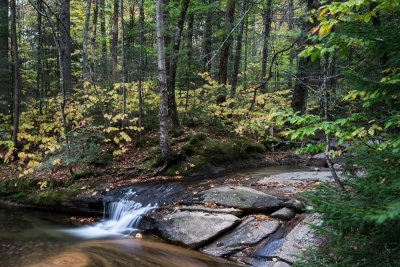
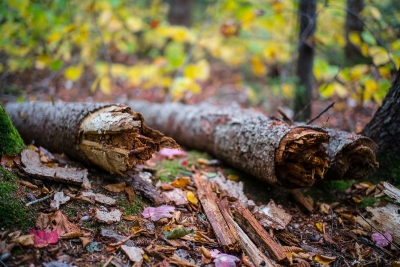
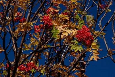
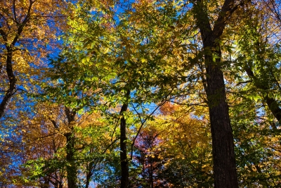
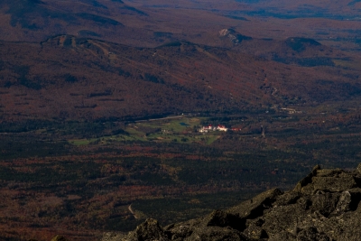
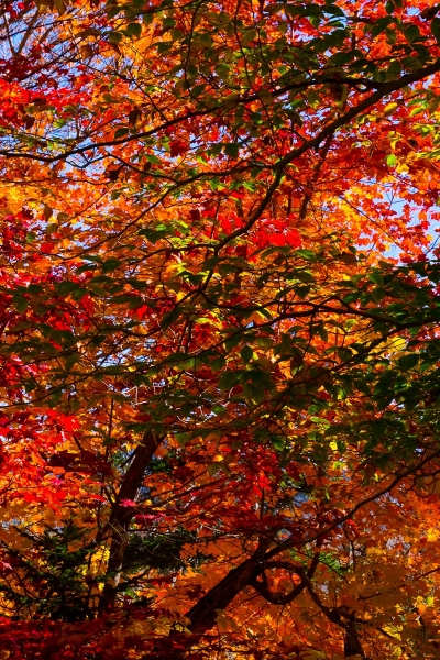
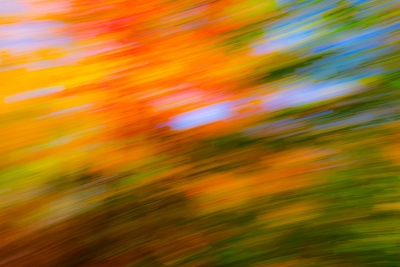
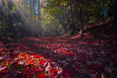
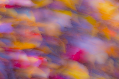
In the afternoon we stopped multiple times driving down the Auto Road, and again on Kancamagus Highway, and not just because we all came to enjoy saying Kancamagus. We found some of the best of the fall colors close up, and I think most of us made some abstracts with camera movement as well.
“If it’s darkness we’re having, let it be extravagant.” ―NH resident Jane Kenyon.
Kancamagus Highway
Day 5 – Saturday – Sugarhill – Pancakes – Departure
“I wasn’t expecting that many pancakes.” Perlmutter
“Had to resort to the clown tool.” Lussier
Breakfast – Polly’s Pancake Parlor
Sunset Hill Road, St. Matthews Church (both Sugarhill, NH), Blair Bridge, Profile Falls
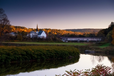
Having been disappointed with the sunset view from Sunset Hill Road on our first evening, we decided to come back to it for our last sunrise, because I guess maybe we thought the name was ironic? Also the pancake place was close.
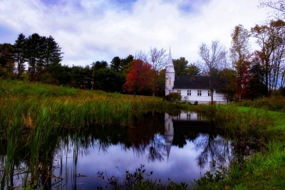
But we got pretty much the same result. Which, is pretty good for a disappointment though. From there we moved down the road just a bit to a small church. Wilson found the best spot to shoot it from, did not share that finding with the group, and then we all did not go to exactly that same spot and take exactly the same photo that he just took. Really, that did not happen.
Polly’s Pancake Parlor was also just a bit down the road. before we went in, Bob rode a horse, which I believe fulfilled a life-long dream. He did say he regretted he wasn’t wearing a unicorn shirt.
After pancakes we went back to the hotel, packed up, and started all the trips home. There was one more stop at Blair Bridge before we began heading in different directions.
I drove Criswell to the airport in Manchester, which allowed me to sidestep Boston and save a nice chunk of time for my drive home to Queens. Bob and Steve drove everyone else to Logan, stopping at some waterfall along the way that doesn’t count because Mike and I weren’t there. You should definitely not go visit the sites of those other guys to see if they have put up any photos of it yet. Just don’t. They are not great photos because I refuse to concede I missed anything. But you have the links above.
“Wisdom begins at the end.” – Daniel Webster
I should probably stop rambling on then. I hope you enjoyed this report from nXnw 2017, Expedition White Mountains.
Armando Martinez
Scott Starks
Steve Perlmutter
John R. Rogers
Dave Wilson
Mike Criswell
Bob Lussier
Armando Martinez
6 Nov 2017Nice work Mark. You got some great photos too.
Michael W Criswell
15 Nov 2017Excellent work Mark, great post!